Route from MG Road to Civil Lines
Find metro route, travel time, fare, gate numbers, interchanges, and first/last train timings.
Journey Overview
Route Map
Total stations: 25
Step-by-Step Instructions
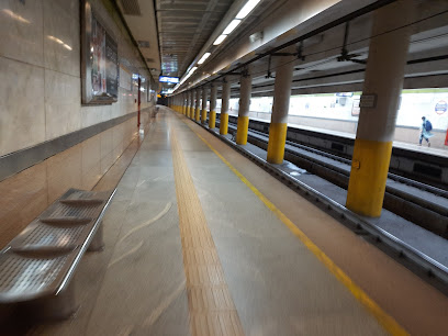
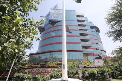
Board at MG Road Station
Arrived at Civil Lines Station
MG Road Station Exit Gates
- Gate 1: DT City Centre Mall
- Gate 2: MGF Metropolitan Mall
Civil Lines Station Exit Gates
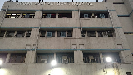
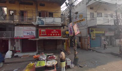
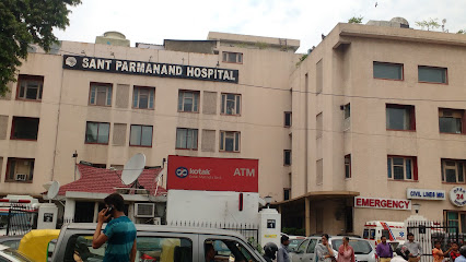
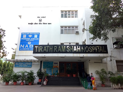
- Gate 1: Sant parmanand Hospital
- Gate 2: IP college
- Gate 3: Oberoi Maidens Hotel
MG Road to Civil Lines Station Route Summary
The distance between MG Road and Civil Lines is 31.1 km. The metro route from MG Road Metro Station to Civil Lines Metro Station takes approximately 50 minutes, and costs ₹50.00 for a one-way trip. This journey runs on the Delhi Metro network with 0 interchange(s) and connects commuters via efficient, high-frequency trains. The first metro from MG Road is available around 5:30 AM, while the last train departs close to 11:45 PM.
This route is popular among daily commuters and travelers due to its affordability, predictable travel time, and seamless connections. Along the way, you’ll find easy access to nearby landmarks, commercial hubs, and residential areas from both stations. For more details, including station gates, nearby landmarks, and exit information, explore our Delhi Metro Map.
Not sure which station is closest? Use our Metro Station Near Me Delhi tool to instantly find the nearest station.
Nearby Places at Civil Lines Metro Station